
Before you load your Wave-Vo into the back of your SUV and head to the lake, there's one essential step every responsible boater takes: checking the NOAA marine weather forecast. This free, government-provided resource delivers real-time weather data for coastal and inland waters across the United States, helping you decide whether conditions are safe for a day on the water.
Whether you're planning a quick spin on your electric jet boat or an extended outing with family, understanding marine weather zones, warning types, and forecast maps can mean the difference between a great experience and a dangerous situation. NOAA's forecasts cover everything from wind speeds and wave heights to storm warnings and visibility conditions, all critical factors when you're operating any personal watercraft.
This guide breaks down how NOAA marine weather forecasts work, where to find them, and how to interpret the information that matters most for safe boating decisions.
Why NOAA marine forecasts matter for safety
Water conditions shift faster than you might expect, and the consequences of ignoring weather warnings can range from an uncomfortable ride to a life-threatening emergency. When you're operating a Wave-Vo or any personal watercraft, your low profile on the water makes you especially vulnerable to sudden wind gusts, waves, and reduced visibility. NOAA marine weather forecasts give you the advance warning you need to make smart decisions about whether to launch at all.
Weather changes happen faster on water
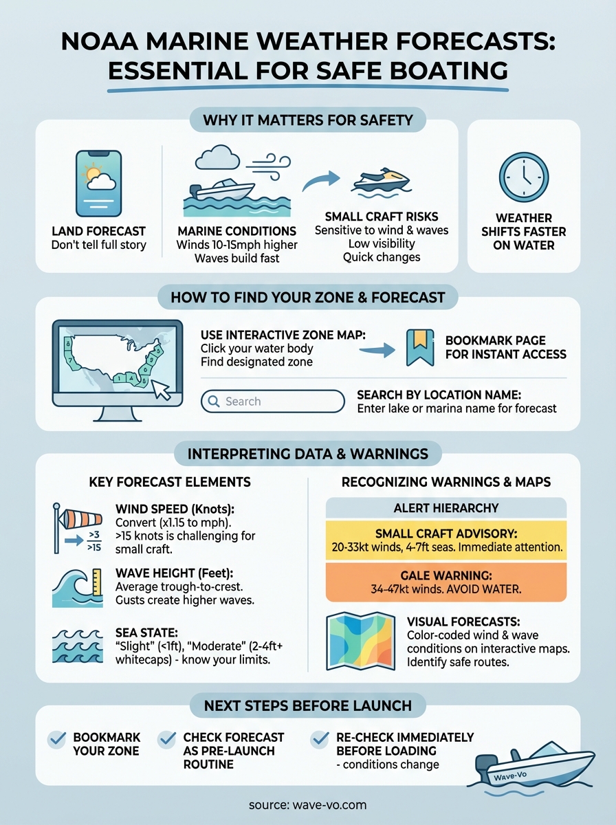
Your local weather app might show clear skies, but that doesn't tell the full story for marine conditions. Wind speeds over open water typically run 10 to 15 mph higher than what you experience on land, and waves build quickly when wind direction opposes current flow. A forecast calling for 15-knot winds might feel manageable on shore, but those same winds can create two-foot chop that makes maneuvering difficult and exhausting.
Conditions that feel comfortable on land can turn dangerous within minutes on the water, especially for smaller craft.
Small craft face unique risks
Electric jet boats like the Wave-Vo weigh just 75 kg and sit low in the water, which makes them incredibly fun to drive but also more sensitive to wind and wave action. Sudden thunderstorms, waterspouts, or fog banks can appear with little warning, and your visibility drops dramatically when you're seated close to the waterline. The noaa marine weather forecast specifically addresses these small craft concerns with dedicated wind and wave height predictions that help you assess whether your boat can handle the conditions safely. Operators who skip this step often find themselves struggling to return to shore or, worse, capsizing in preventable situations.
Where NOAA marine forecasts come from
The National Oceanic and Atmospheric Administration operates the most comprehensive marine weather monitoring system in the United States, collecting data from hundreds of observation points scattered across coastal waters, lakes, and offshore zones. Your noaa marine weather forecast pulls information from this network in real time, combining automated sensors with human meteorologist analysis to create accurate predictions for specific water bodies.
Data collection starts with physical sensors
NOAA deploys weather buoys throughout U.S. waters that measure wind speed, wave height, water temperature, and atmospheric pressure every hour. These floating stations transmit data via satellite to National Weather Service offices, where meteorologists review the numbers and issue forecasts for designated marine zones. Shore-based radar systems track storm movement and precipitation intensity, while automated weather stations at harbors and marinas add localized observations that refine predictions for inland waters and bays.
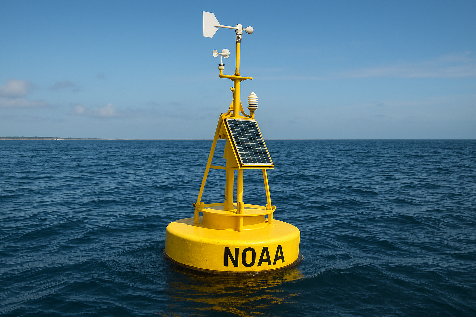
This combination of automated measurements and expert interpretation ensures you get forecasts based on actual conditions, not computer models alone.
Meteorologists update most marine zone forecasts twice daily, with additional updates issued immediately when conditions change rapidly or warning criteria are met.
How to find your marine zone fast
Every body of water in the United States falls within a designated marine forecast zone, and knowing yours before you launch saves time and ensures you check the right conditions. The National Weather Service divides coastal and inland waters into hundreds of numbered zones, each receiving its own tailored forecast based on local geography, currents, and weather patterns. You need to identify your zone once, then bookmark that specific forecast page for instant access every time you plan to use your Wave-Vo.
Use the interactive zone map
NOAA provides an interactive marine zone map on the National Weather Service website that lets you click directly on your planned water body. The map displays every marine zone with clearly marked boundaries, and clicking any zone loads the current forecast immediately. This visual approach works best when you know the general location of your lake or coastal area but haven't memorized the specific zone designation yet.
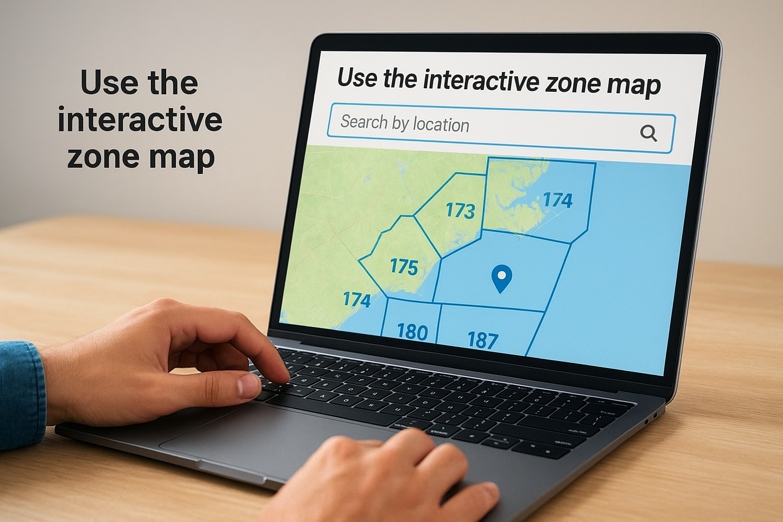
Finding your zone takes less than 30 seconds with the interactive map, making it the fastest method for new boaters.
Search by location name instead
Type your lake name or marina location into the NWS marine forecast search bar if you want to skip the map entirely. The search function recognizes most popular water bodies and coastal areas by name, returning your noaa marine weather forecast without requiring you to know any zone numbers.
How to read the forecast and sea state
Your noaa marine weather forecast presents data in a standardized format that covers wind direction, wind speed, wave height, and weather conditions for the next 24 to 48 hours. Understanding these elements helps you determine whether your Wave-Vo can handle the predicted conditions safely, and whether you'll actually enjoy your time on the water.
Wind speed and wave height numbers
Wind speed appears in knots (nautical miles per hour), with forecasts typically showing a range like "10 to 15 knots." You can convert knots to miles per hour by multiplying by 1.15, so 10 knots equals roughly 11.5 mph. Wave height predictions tell you the average height in feet from trough to crest, but individual waves can run 50% higher than the forecast average during gusty conditions.
Anything above 15 knots or one-foot waves deserves serious consideration before launching a lightweight personal watercraft.
Sea state descriptions matter
Forecasts include descriptive terms like "choppy," "rough," or "slight" that summarize overall conditions. "Slight" means waves under one foot with minimal whitecaps, ideal for electric jet boats. "Moderate" indicates two to four-foot waves with frequent whitecaps that make maneuvering difficult and tiring for operators.
How to use maps, warnings, and alerts
Beyond basic text forecasts, NOAA provides visual weather maps and color-coded alert systems that show you exactly where hazardous conditions exist right now. These tools help you spot developing storms, track warning areas geographically, and understand which parts of your waterway face the worst conditions. Your noaa marine weather forecast includes links to radar imagery and warning maps that update every few minutes, giving you a complete picture before you decide to launch.
Visual forecasts show conditions at a glance
Interactive weather maps on the National Weather Service website overlay current conditions on your marine zone using color gradients for wind speed and wave height. Red zones indicate winds above 25 knots, while green shows calmer conditions under 10 knots. You can zoom into your specific lake or coastal area and see exactly where rough patches exist, helping you plan routes that avoid the worst sections or decide to postpone your trip entirely.
Warning types you need to recognize
NOAA issues three levels of marine alerts depending on severity. A Small Craft Advisory means winds of 20 to 33 knots or seas four to seven feet. Gale Warnings indicate winds from 34 to 47 knots, conditions that should keep all recreational boaters off the water.
Small craft advisories apply specifically to boats like the Wave-Vo and require immediate attention.
Next steps before you launch
Checking your noaa marine weather forecast takes less than five minutes but prevents hours of dangerous conditions or wasted trips to the water. Bookmark your specific marine zone page, set up text alerts for warnings, and make forecast review part of your pre-launch routine every single time you plan to use your watercraft. Conditions that look acceptable in the morning can deteriorate by afternoon, so check again right before you load up.
Your Wave-Vo's portable design makes spontaneous water adventures possible, but safe boating still requires preparation. Review wind speeds, wave heights, and active warnings before every trip, and never let excitement override common sense when forecasts show marginal conditions. Discover how the Wave-Vo combines convenience with performance for your next adventure on the water, and always let weather conditions determine your launch decision.